Turtle Tracking
Transmissions from each of Hawksbill Hope’s
deployed satellite tags can be seen here,
courtesy of seaturtle.org:
http://www.seaturtle.org/tracking/index.shtml?project_id=650
“The actual tagging is very exciting to see. It was amazing to see these huge creatures so close up.”-Katherine Sanchez
summer 2017
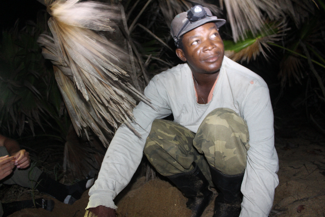
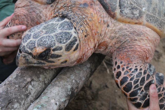
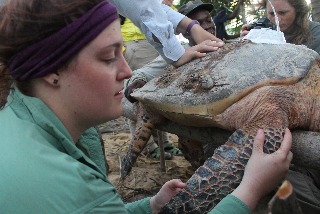
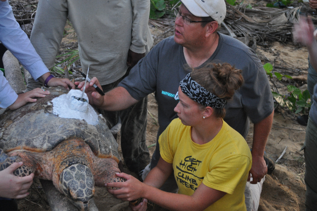
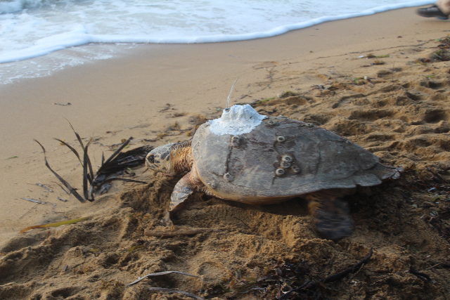
Hawksbill Hope, through individual contributions and grant funding, will be able to satellite tag marine sea turtles during the nesting season in Belize. Mk10-AF tags, costing $5,000 U.S. each, are providing important real-time tracking data for the endangered Hawksbill Turtles. The tags deployed by Dr. Rimkus, with the help of Gales Point local Kevin Andrewin and Marymount students enrolled in his study abroad marine biology class, are currently tracking the Hawksbill turtles.
Each time the turtles surface the tag transmits using the Argos system consisting of data acquisition and relay equipment attached to the NOAA low-orbiting weather satellites and ground-based receivers and data processing systems. The Argos satellite equipment records the transmissions being transmitted from the turtle’s tag and later downloads this data back to earth. Service Argos, the organization, which administers the Argos system, then processes this data and determines positions. Data and the Argos-calculated locations of Hawksbill turtles are made available via the Internet at seaturtle.org. Wildlife Computers supplies analysis programs to help decode, format and interpret the Argos-relayed data.
“At three a.m. we awaken by knocking at our door. All in a haze and groggy, I walk to the door to find Dr. Ellis staring back at me. “We have a turtle” she says. All of us know the drill; we get dressed, grab our head lamps, bug spray, and cameras, and walk sleepily to the dock.”
-Amanda Ghobadi, Summer 2013
Hawksbill Hope tagged turtles
Show your Hawksbill pride! Order a Hawksbill Hope t-shirt